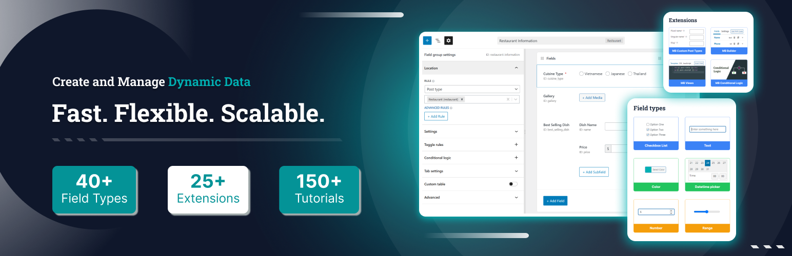
Meta Box
91Meta Box plugin is a powerful, professional developer toolkit to create custom meta boxes and custom fields fo...
Free
500k+ installs 4.8★ (165)
Create interactive vector maps of the world, continents, any country in the world and specific regions, including individual US state county maps.
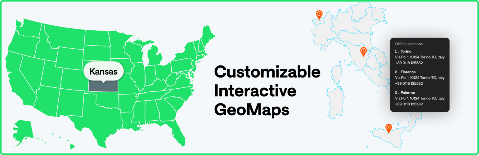
MapGeo is a WordPress plugin that allows you to create interactive geo maps with various features. You can display maps of the world, continents, and individual countries, with options to colour regions and add markers. The plugin supports responsive design and is compatible with modern browsers and devices.
This plugin is suitable for users who need to visualise geographical data, such as travel routes, office locations, or project distributions. It offers more than 250 vector maps and allows for customisation through hover effects and click actions.
Best for: This plugin suits users looking to display geographical information on their WordPress sites.
What it does well
Where it falls short
MapGeo provides a straightforward way to create and customise interactive maps. It is a useful tool for those needing to visualise location-based data.
MapGeo's own description of MapGeo, lightly tidied.
Create interactive maps with regions and coloured markers. You can display the world map, continent maps and single country maps.
Demo | Admin Demo | Maps | Documentation | Pro
Create your first interactive map in minutes! Use it to display your visited countries map, travel map, office locations, projects map, representatives map, statistics map, data visualization map or any other thing!
The plugin generates interactive, responsive, touch-enabled SVG maps which are embedded directly into your HTML5 pages and compatible with all modern browsers and devices.
This plugin will build the maps using the amcharts visualization library which provides hundreds of different maps. The plugin loads some files from their CDN to build the map and display it on your page. You won’t need to have a amcharts account for the maps to work. More information about their amcharts Privacy Policy.
When you first install the plugin, you can choose to opt-in to share non-sensitive data with Freemius, a framework we use to collect data about your WordPress installation that will help us improve the plugin. This is optional and the plugin will still work if you don’t opt-in. It will not collect any data from your visitors.
Other plugins for maps and locations.
Meta Box plugin is a powerful, professional developer toolkit to create custom meta boxes and custom fields fo...

The easiest to use WordPress map plugin! Create a custom map, map block, store locator or map widget with high...
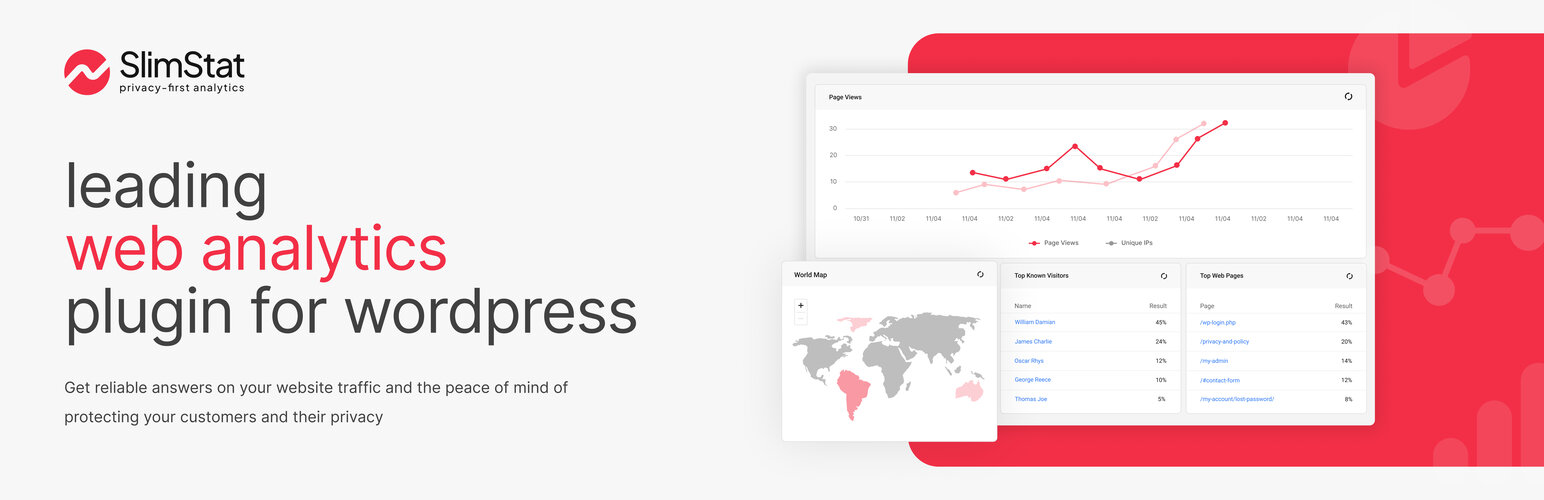
Real-time WordPress analytics that stay on your own server: pageviews, outbound links, WooCommerce funnels, al...
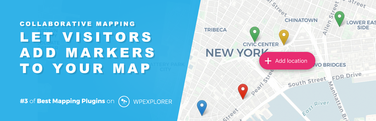
Create custom interactive maps with free Leaflet-based styles, no Google Maps API key, frontend marker submiss...
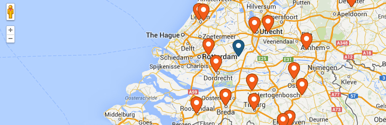
An easy to use location management system that enables users to search for nearby physical stores.

Interactive maps and markers on your posts and pages with simple shortcodes.