Meta Box
91Meta Box plugin is a powerful, professional developer toolkit to create custom meta boxes and custom fields fo...
Free
500k+ installs 4.8★ (165)
Interactive World Maps Plugin Features Map Types: World map Continents or sub-continents Countries Countries divided by regions US states US states divided by metropolitan areas Ba
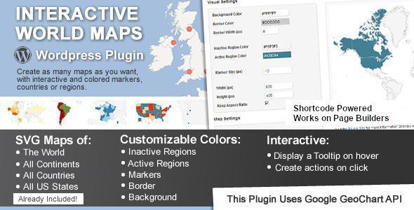
Interactive World Maps is a WordPress plugin that allows users to create and customise interactive maps. You can choose from various map types, including world maps, continents, countries, and US states, and adjust their appearance with options for background colour, border width, and individual region colours.
This plugin is suitable for travel websites, multinational companies, small businesses, NGOs, and those creating infographics. It provides a way to visually represent geographical information tailored to specific needs.
Best for: This plugin is best for websites that require interactive geographical representations, such as travel sites and businesses with a global presence.
What it does well
Where it falls short
Interactive World Maps provides a range of customisation options for creating interactive maps, though details on pricing and user feedback are lacking.
Map Types
: World map
Customization Options
: Background color control
Use Cases
: Travel websites
Other plugins for maps and locations.
Meta Box plugin is a powerful, professional developer toolkit to create custom meta boxes and custom fields fo...

The easiest to use WordPress map plugin! Create a custom map, map block, store locator or map widget with high...
Real-time WordPress analytics that stay on your own server: pageviews, outbound links, WooCommerce funnels, al...
Create custom interactive maps with free Leaflet-based styles, no Google Maps API key, frontend marker submiss...
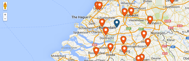
An easy to use location management system that enables users to search for nearby physical stores.
Interactive maps and markers on your posts and pages with simple shortcodes.